Developments in disaster-prone areas means big bucks for builders, but can leave communities at risk
ELFIN FOREST, Calif. — Elfin Forest is named for the miniature trees that blanket the surrounding ridgeline. The terrain acts like a wall, which has until recently prevented suburban San Diego from sprawling into the bucolic valley.
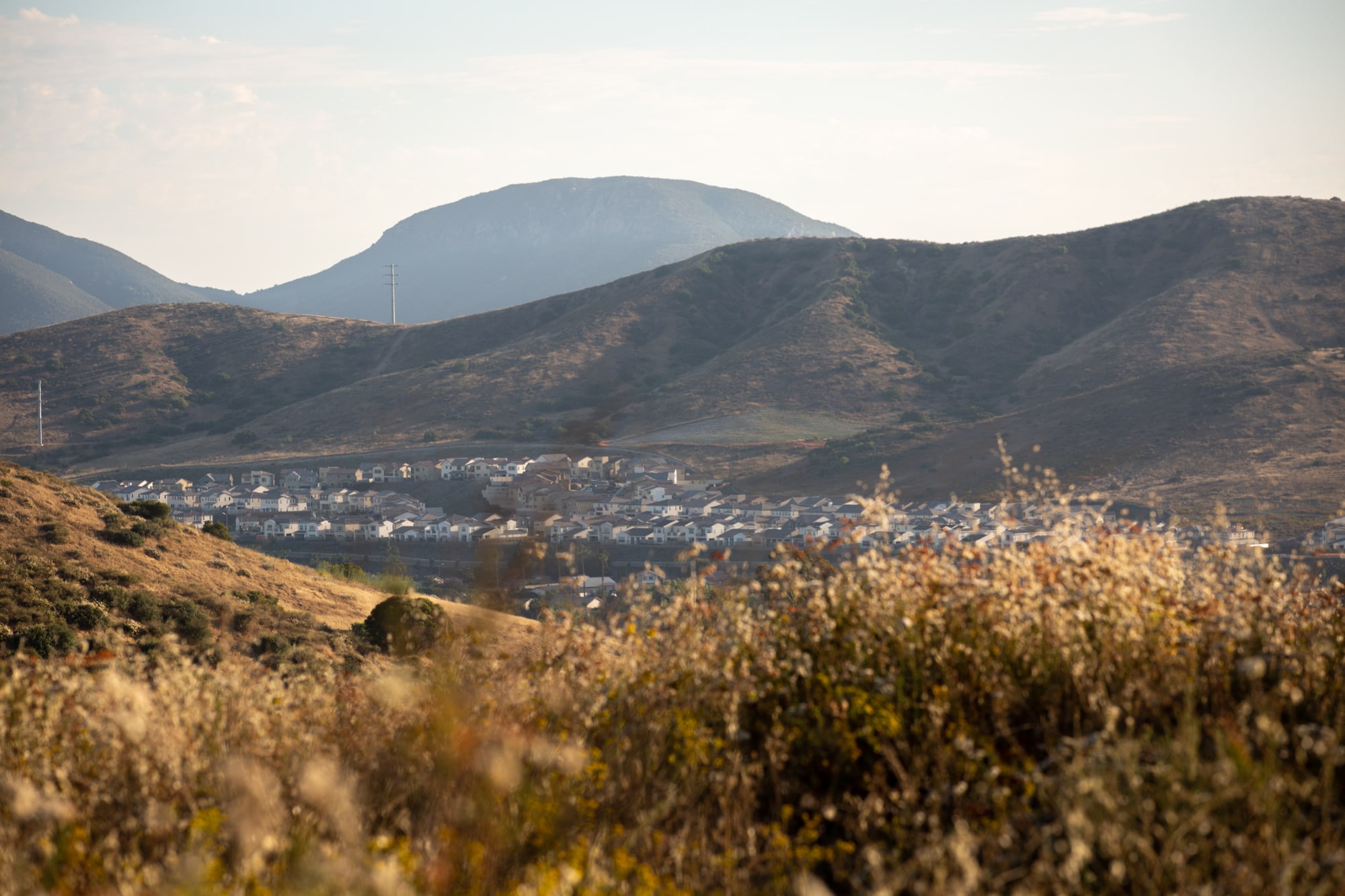
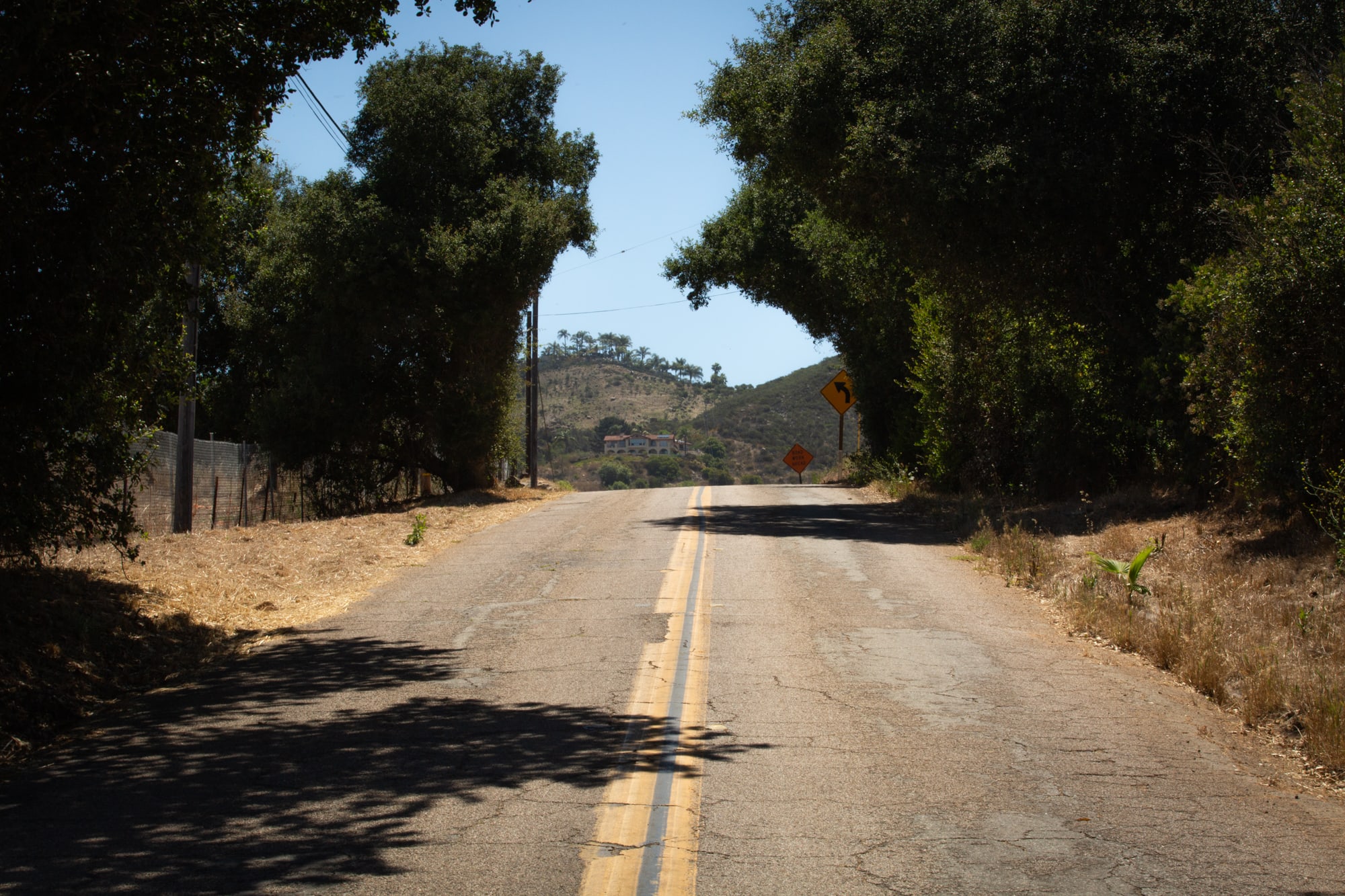
The town, home to 800 people and 300 horses, bills itself as “A Rural Community.” It’s accessed by a single winding two-lane road. When the valley catches fire, as it does periodically, that road is the only escape route. Residents will soon share it with 700 new neighbors.
“We're already at maximum density when it comes to evacuation,” said JP Theberge, chairman of the Town Council. “This is a catastrophe waiting to happen.”
The U.S. has spent more than $500 billion over the past five years cleaning up after a spate of record-breaking hurricanes and wildfires – climate-related disasters the government expects to become more frequent and more furious. Federal firefighting costs now consume more than half of the National Forest Service’s budget. The National Flood Insurance Program is $20.5 billion in debt. Critics say these programs have subsidized risky land-use choices for decades, and now the bill is coming due.
Yet, from coast to coast, homes continue to go up in floodplains and areas frequented by fire. An emboldened alliance of experts, environmentalists and concerned citizens is pushing back against business-as-usual development.
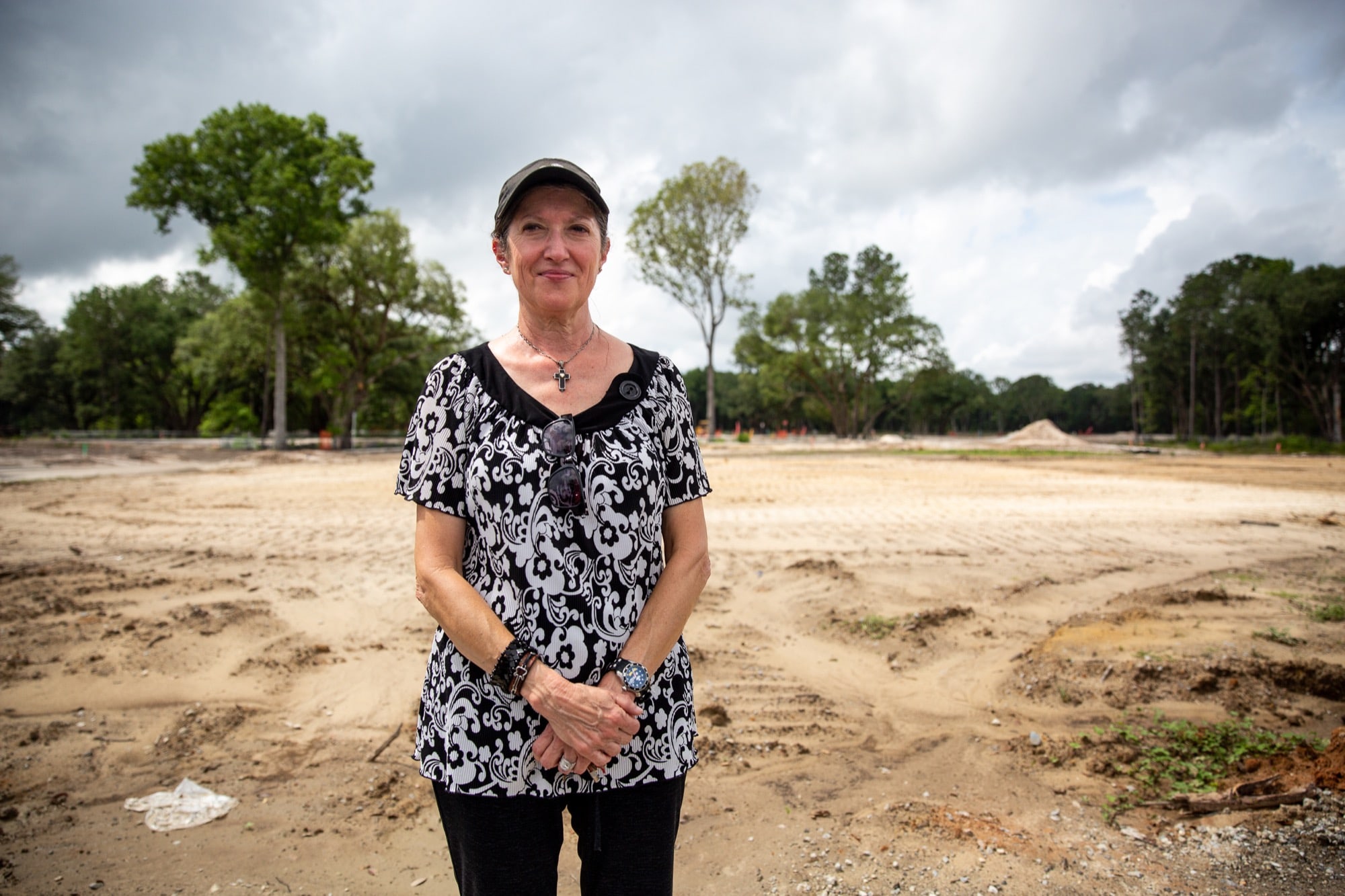
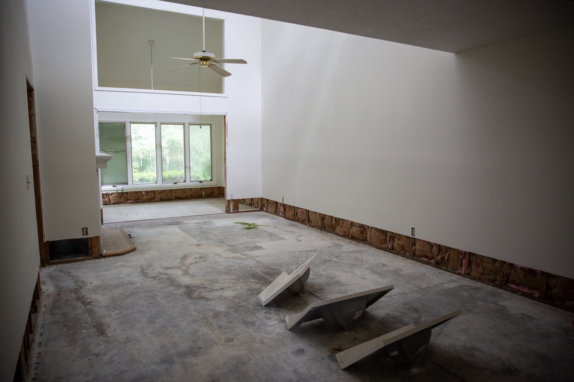
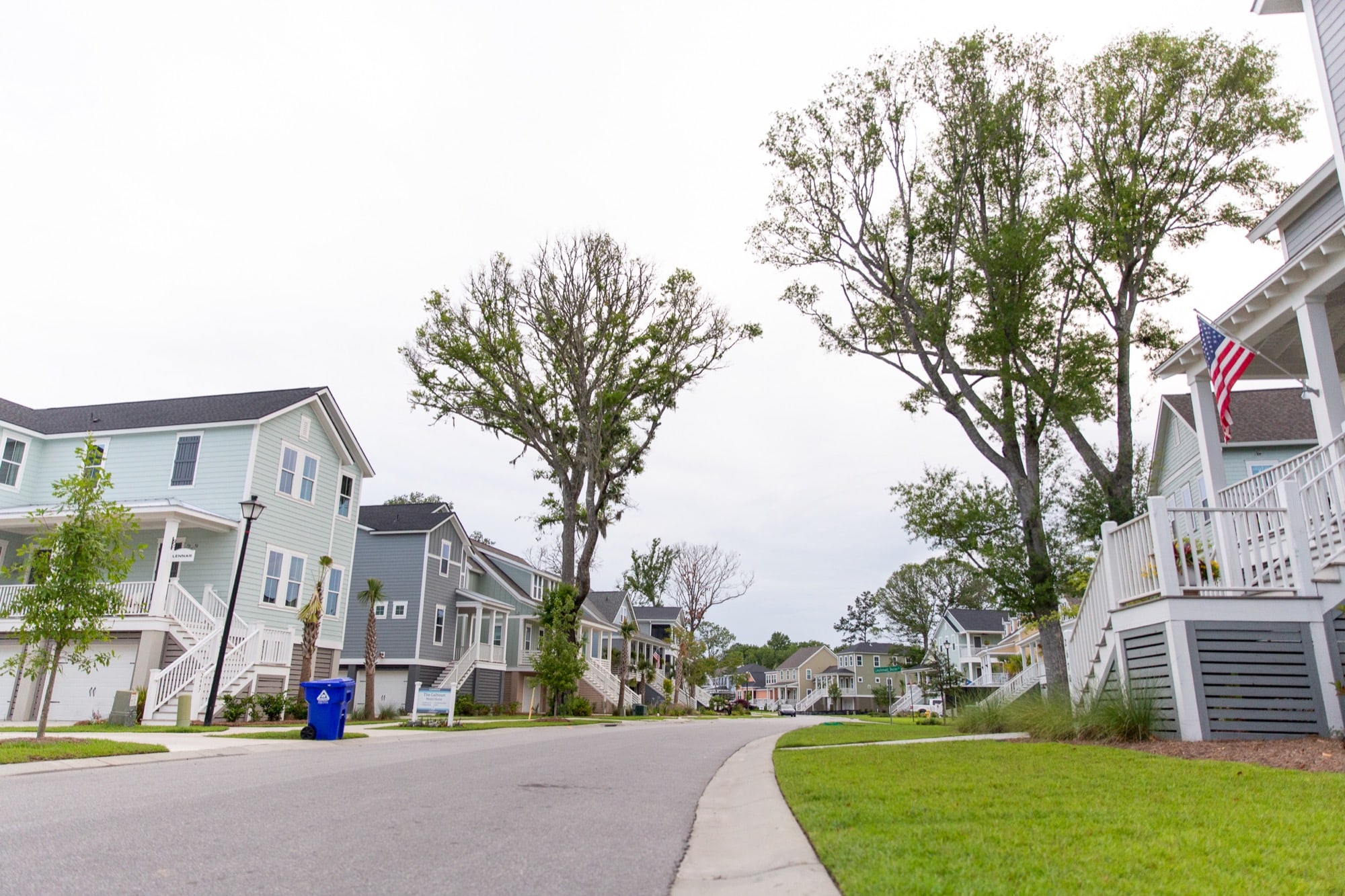
After consecutive major floods in 2015, 2016 and 2017, Charleston, South Carolina, residents are calling for the city to prevent a man-made disaster in its low-lying suburbs. Builders are filling in the wetlands of nearby Johns Island, where the city has approved nearly 2,000 housing permits since 2015. In a neighboring suburb, overdevelopment was linked to flooding that forced the city to buy out homes and temporarily ban new construction there.
In the next 15 years, more than $63 billion in real estate in coastal cities such as Charleston, Miami and Galveston, Texas, will experience chronic flooding, according to a report on sea level rise released last year by the Union of Concerned Scientists.
“This whole practice of development that’s going on right now is dangerous and it's putting people at risk,” said Phil Dustan, an expert in rising sea levels who has studied Charleston’s topography. “It could create a (Hurricane) Katrina-type situation with housing developments.”
Local governments don’t have the incentive or, often, the power to stop risky development. When homes are destroyed, taxpayer dollars often cushion the blow. Developers exercise immense political power, especially in growing cities where housing is needed. People want to live in these areas.
“As a society, we really like living near water. We love living in the wildland urban interface, in the mountains and we love nature, and these are the places in particular where the disasters are more prevalent,” said Leslie Chapman-Henderson, president of the Florida-based Federal Alliance for Safe Homes (FLASH). “Should we be dredging up sand to build those places back up? Or should we just acknowledge that we shouldn’t put structures there?”
Two communities on opposite sides of the country, one plagued by fire, the other by flooding, exemplify the precarious politics of building in disaster-prone areas. In San Diego County and Charleston, as elsewhere, experts warn that tomorrow’s disasters are being built today.

Topographical maps of Johns Island in South Carolina show the low-lying areas where new developments are being built. Residents have opposed such dense developments out of fear that they will worsen the flooding that already plagues the area. (Jake Steinberg/News21)
San Diego County residents line up to comment on a proposed housing development in an area that has burned every seven years on average since 1950. The development was approved. (Kailey Broussard/News21)
California: ‘We call it the death trap’
The 2014 Cocos Fire in Harmony Grove took everything from Lali Mitchell: Her father’s writing from the 1940s, her son’s vintage Marvel comic book collection, the 100-year-old oak her kids played under.
“My mind was just pulverized,” she said. “It’s so big that you just can’t cry about it. It’s just gone.”
With flames at her back, Mitchell, 77, escaped by way of the neighborhood’s single road. Fire afflicts Harmony Grove regularly, and Mitchell has lived through many blazes since moving there in 1976.
But a recently approved housing project along her only escape route could put more than 400 additional cars on the road during an evacuation. If it’s built, Mitchell said, staying won’t be an option.
Lali Mitchell lives along Country Club Road, a winding, dead-end street in Harmony Grove, California. In the 2014 Cocos Fire, traffic snarled as residents fled their homes. Mitchell said the road would not support increased traffic from new residents. “There's no way you could be safe here,” she warned. (Kailey Broussard/News21)


Lali Mitchell‘s first home in Harmony Grove, California, where she had lived since moving to the area in 1976, was destroyed in the 2014 Cocos Fire. She said the fire destroyed tens of thousands of dollars worth of art, as well as family mementos, such as her father's typewriter. “She was her own beautiful thing,” Mitchell said of her burned house. (Kailey Broussard/News21)
“There’s no way you could be safe here,” she said. “We're terribly concerned with what they're creating. We call it the death trap.”
The project, called Harmony Grove Village South, represents a fraction of the more than 10,000 homes due to be built in the riskiest fire-prone highlands of San Diego County.
As in other metro areas across the nation, the cost of a home in San Diego County is soaring. The median home price is $590,000 — double the national average — and the county is 100,000 housing units short of its 2020 goal.
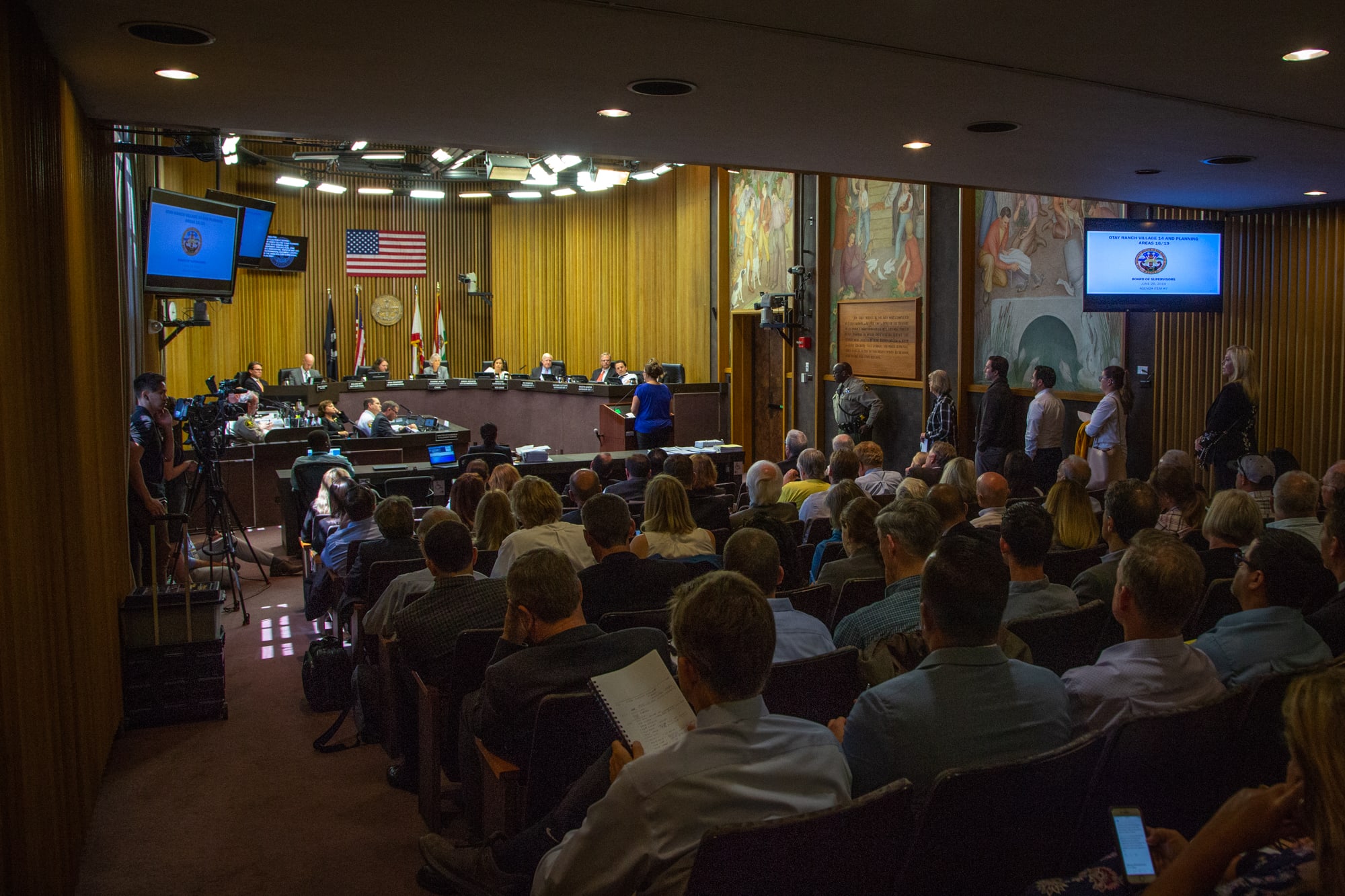
“We need affordable housing. And we need to better protect the region from our greatest natural threat – wildfire,” Dianne Jacob, chairwoman of the county board of supervisors, said in her 2019 state of the county speech. “We’re facing a conflict between shelter and safety, and we must find some balance in this battle.”
But recently, housing – and those whose business is to build it – have been winning. County supervisors have approved a steady stream of projects that require amending the county’s general plan, which prioritizes growth in the urban lowlands to keep it out of rural areas with limited infrastructure and severe fire risk.
Amending the plan usually increases the number of homes developers can build, which clears the way for projects like Adara at Otay Ranch. Approved in June, the project would place more than 1,100 homes in foothills that have burned every seven years on average since 1950.
Developers argue the homes will be built to the latest fire code standards and surrounded by land stripped of fire-fueling brush. State law requires developers to prepare an evacuation plan demonstrating how residents will be able to get out.
“California has certainly seen a number of devastating fires, primarily in communities built long ago,” said Borre Winckel, president of the Building Industry Association (BIA) of San Diego. “Our fire-mitigating development standards and building codes have necessarily evolved.”
However, recent severe, wind-driven fires have raised questions about the limits of fire safe construction.
“You can have the most fire safe community on the planet. When a fire is coming through at a thousand degrees or more, I don't care what you've done to your house,” said Char Miller, a professor of environmental history at Pomona College.
In 2008, California passed a set of stringent building codes for high fire hazard areas. In last year’s deadly Camp Fire, nearly half the homes built after 2008 burned anyway. Miller said building homes this way is a smart thing to do, but it presents a problem: “It's also a way by which people fool themselves that if doing this, you will be OK.”
The number of homes commingling with wilderness is expanding across the country. One in three homes in the U.S. now are in areas at increased risk of fire. The more people living in these areas, the more likely a fire will break out, said Alexandra Syphard, a fire ecologist for the Conservation Biology Institute.
“In an area with very few people, you have very few fires, because people cause all the fires,” she said.
Even in areas with ample housing, local decision-makers face pressures.
“Every city hall and every county supervisor knows that one of the tickets to their political success is to greenlight development because the developers are the key factors in funding their campaigns,” Miller said.
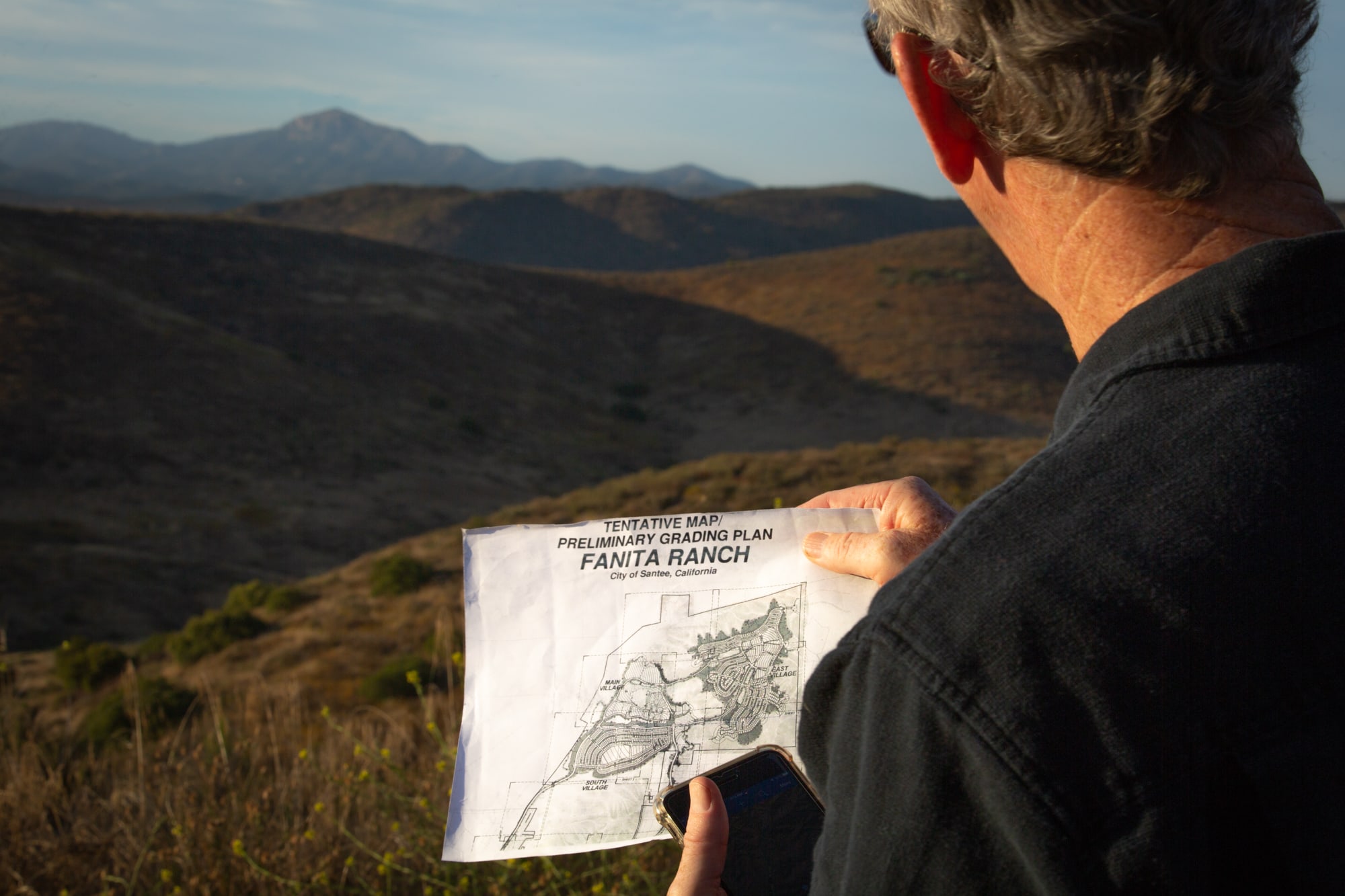
Van Collinsworth, a former firefighter with the U.S. Forest Service, checks the proposed layout of Fanita Ranch, a development in Santee, California. Fanita Ranch had gone back and forth between planning and legal battles for about a decade. It initially was approved in 2007, but its environmental impact reports were declared inadequate in 2013. (Kailey Broussard/News21)
Developers and real estate interests often donate liberally during election years, and local politicians often take money from builders whose projects hinge on their approval.
When a developer is in a position to make a billion dollars or more from a single project, there is little limit to what they’re willing to spend, said Stephen Houlahan, vice mayor of the San Diego suburb of Santee. “There are dark-money forces, through political action committees, that do become involved in elections on behalf of their interests.”
The BIA of San Diego spent at least $76,000 in support of Santee’s council members last election. HomeFed Corp., a BIA member, is proposing a nearly 3,000-home project in the hills above Santee – the hills that were scorched in the 2003 Cedar Fire.
“Facts are facts, science is science, and the science says that that place is going to burn,” said Houlahan, who opposes the project. “Everyone who's grown up in this city knows it.”
Nonetheless, the project would be a financial gift for Santee, delivering a recurring tax windfall of $5 million, according to a report by a consulting group hired by the city.
The prospect of additional tax revenue is a common incentive for cities to approve more housing, according to Gregory Simon, an expert in human-environment interactions at the University of Colorado Denver.
“Why does the fire rage on and become so costly and injurious and even deadly? That's almost always a social thing,” Simon said. “That's because all of our stuff is there. That's really the problem, and so we really should be questioning that in the first place.”
A recent report from Gov. Gavin Newsom said California should “deprioritize” new development in areas that burn. Three in four Californians now say the government should restrict development in high-risk areas, according to a Berkeley Institute of Governmental Studies poll released in June. But no laws have been passed to keep homes out of harm’s way.
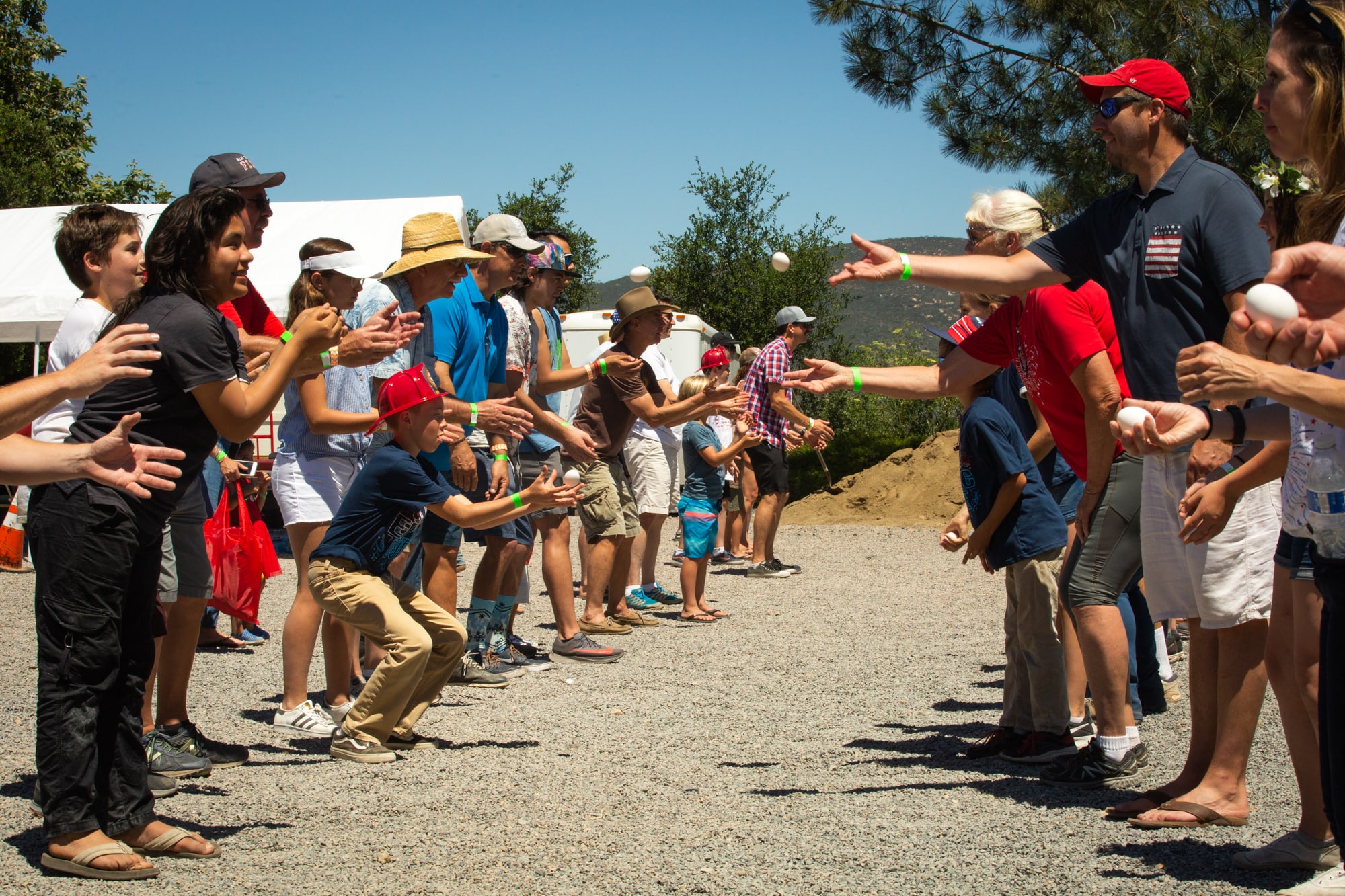
Residents of Elfin Forest and Harmony Grove, California, participate in an egg toss during the towns’ 42nd annual Fourth of July parade and picnic. (Kailey Broussard/News21)
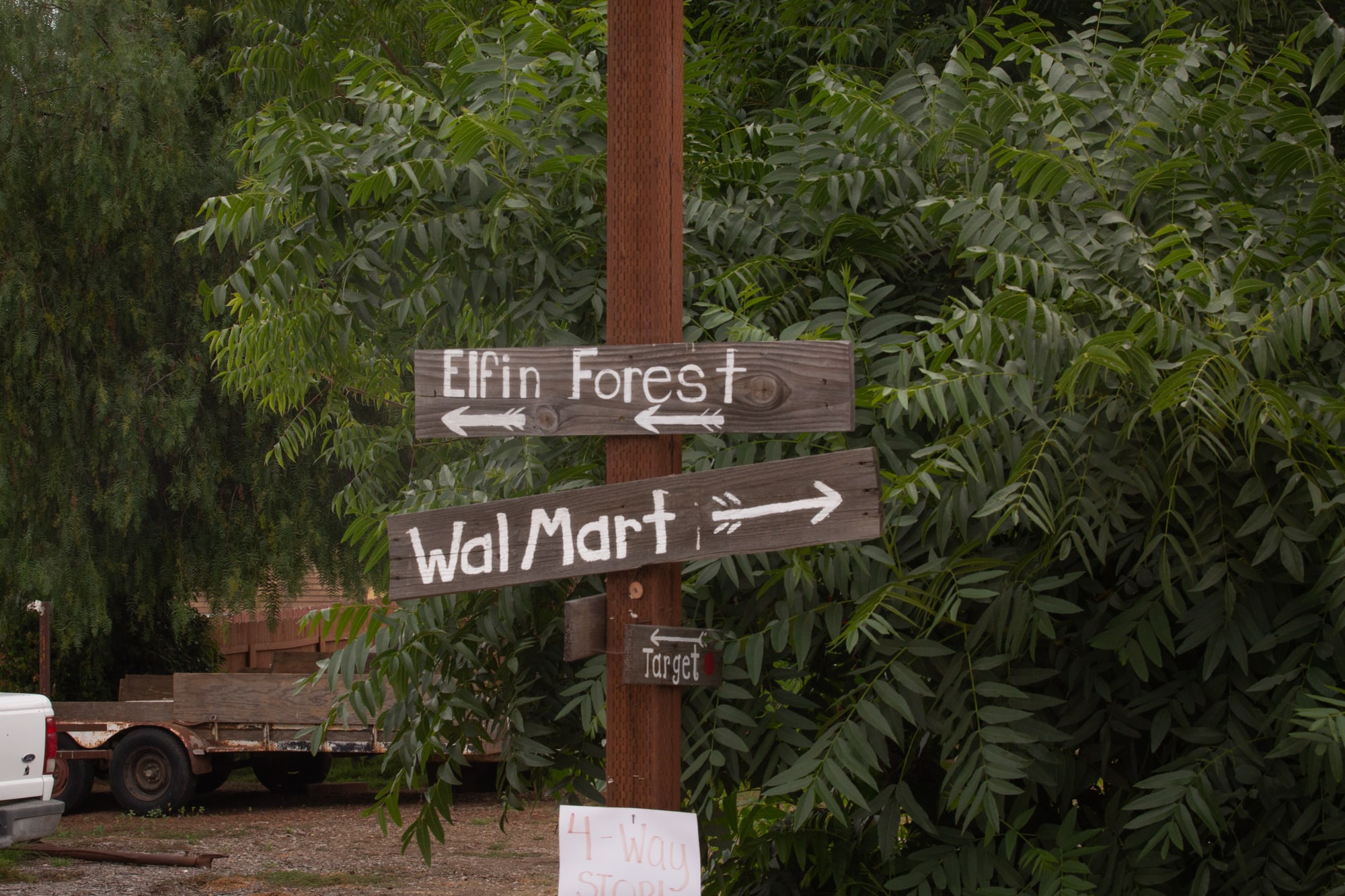
Homemade signs are a tongue-in-cheek nod to years of tension among Elfin Forest, Harmony Grove and other rural communities in San Diego County. (Kailey Broussard/News21)
The communities of Elfin Forest and Harmony Grove are suing the county over Harmony Grove Village South and another housing project that together would add more than 700 homes along their eastern escape route. Dense development on the western side of the valley led to major backups during the Cocos Fire five years ago.
“People were stuck for an hour sitting in traffic because you had all the side streets coming out into the main street and they were all backed up,” Theberge said. “That raised a lot of concerns about how viable is evacuating in a fire situation.”
Mitchell has thought about where she’d go if Harmony Grove Village South is built, but she’s counting on the lawsuit to stop the project.
“I think the only thing in our favor is that last year was such a terrible fire with the Paradise Fire,” she said. “We really need a heads-up of a sane way of handling fire safety and not building in these areas that are so close to natural habitat.”